Atlas login
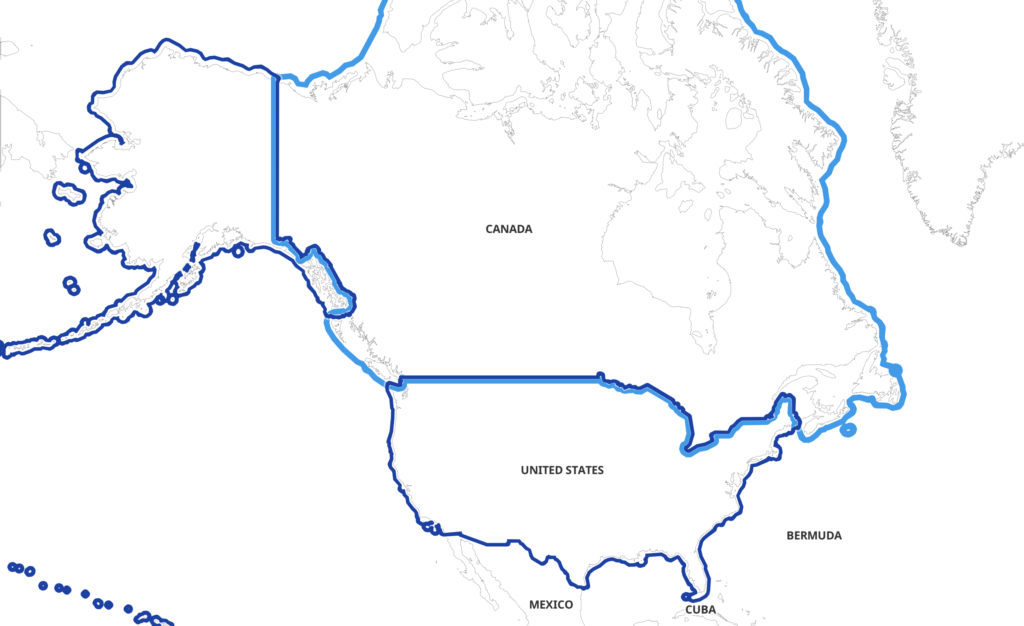
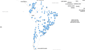
Insights generated using Kontur Atlas
We gather data relevant to your area of interest
Select data showing the most significant changes compared to global averages or other specified regions
We provide AI-driven insights based on this data
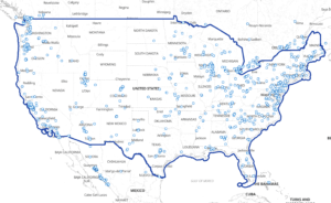
🌲 Forest and Natural Cover: Canada has a high amount of forest landcover, with evergreen needleleaf forests covering 40.33% of the populated area compared to just 4.13% in the United States. Forests overall make up 58.14% of populated areas in Canada versus only 6.81% in the US. 🌲
💧 Water Resources: Permanent water bodies cover a significant part of the land in Canada, with 7.42% of populated areas compared to only 1.09% in the United States. This includes lakes and rivers that can be significant for both natural beauty and resources. 💧
❄️ Snow and Ice: Canada has extensive snow and ice cover, with snow and ice over buildings at 7.07 square kilometers per number compared to 4.69 in the US. This reinforces the colder climate and needs for appropriate infrastructure. ❄️
🌾 Land Use: There is a significant amount of shrubland and bare vegetation landcover in Canada. Shrubland landcover is over 4.50% of the populated areas compared to 3.85% in the US, highlighting its natural flora. 🌾
🏥 Accessibility: The man-distance to hospitals over the population in Canada is 78.56 man-distance per person, considerably higher than the 47.98 in the United States, implying potentially larger distances to healthcare facilities. 🏥
🌡️ Climate: Canada’s minimum and average air temperatures are significantly lower than the US, with average monthly minimum temperatures at -27.0°C compared to -9.73°C in the US. This impacts daily life, transportation, and infrastructure needs. Air temperature average is -4.43°C versus 8.66°C in the US. 🌡️❄️
🛣️ Infrastructure: Total road length per number of buildings in Canada is quite extensive at 21,799.74 kilometers per number, compared to 10,528.08 kilometers in the US. This indicates a possible stress on transportation infrastructure. 🛣️
📉 Economic Indicators: Canada’s Gross Domestic Product per capita is significantly lower than that of the United States— $49,779.24 compared to $69,165.03 USD per person. This could affect overall economic activities and living standards. 📉
🦠 COVID-19 Impact: The number of confirmed COVID-19 cases per population in Canada is lower at 0.16 per person compared to 0.33 in the US, which can influence public health strategies and perceptions of safety. 🦠
🔧 Geospatial Data Use: Canada shows a high amount of recent OpenStreetMap activities, indicating active engagement with digital mapping, with OSM objects over buildings at 99.54 possibly due to the vast remote areas requiring updated data constantly. 🔧
In summary, Canada exhibits extensive forest cover, colder climate, significant water bodies, and large distances to essential services compared to the US. The data indicate considerations for economic activities, public health, and accessibility when traveling or conducting activities there. 🛡️✨